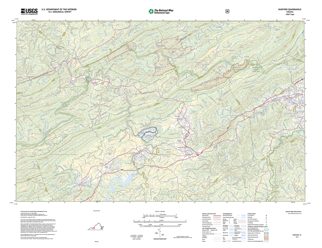
GIS and Topo maps go hand in hand. From the classic Quad maps, to the National Geographic TOPO! product, to just basic Esri Topo map services, these topographic maps have been part of GIS since the beginning. Google Maps has had their “terrain” layer for a long time (though it seems to be fading out for some reason). Apple with the release of Watch OS 10 and the Ultra 2 added topographical maps to at least the watch ecosystem, but still required an iPhone to download the offline maps.
But yesterday Apple finally closed that hole and added topographical maps (including the trails feature) to iOS.

Now this is very user centric at this point. I expect to see these maps start appearing in apps that use MapKit but to what extent I’m not sure. I use onX Offroad quite a bit and suspect it will continue to use their own
