Link – My giant squid
OK, its not really a giant squid, but frankly I can’t really tell what it is either. JM has a couple ideas and any of them could be it. My choice is that it is a Navy CH-46, but I’m not going to bet any money on that.

Link – My giant squid
OK, its not really a giant squid, but frankly I can’t really tell what it is either. JM has a couple ideas and any of them could be it. My choice is that it is a Navy CH-46, but I’m not going to bet any money on that.
Link – SlashGISRS: In+ersec+ion for Spatial People – via perrygeo.net
I’ll be the first to admit, I’ve tried to not pay attention to anything MapInfo as I hated using it 10 years ago. I’m sure things have changed, but I haven’t. Anyway if you enjoy using other software packages, SlashGISRS might be the place to go as they focus on all the flavors of GIS. I’m subscribed.
Link – Hurricane Rita Base Map Index Page – via PubSub
NOAA just completed an aerial survey areas affected by Hurricane Rita. The areas were photographed on Sunday covered the coastal regions of Louisiana and Texas. They were flown last Sunday right after the hurricane hit. One hates to make comparisons with natural disasters, but these images look very similar to the ones from the tsunami that hit SE Asia last year.
Update – Go here if you want to get information about georeferencing the images for use in GIS.

If I was the Program Manager of ArcExplorer, I would be calling CNN/MSNBC/Fox News/ABC News/CBS News/etc right now and show them a demo of ArcExplorer with some of the great ArcWeb services ESRI has. ArcWeb has better imagery, better weather layers and better road network than Google Earth has and I’m sure many of these news organizations would love to have all this out of the box, rather than rely on a KML/KMZ file from some server in Russia for their hurricane tracking. I would do just about anything to get the ESRI logo in the lower right corner of the TV screens while people are amazed both ArcExplorer and the ArcWeb services on top of that. ESRI only has to point to the years of experience serving up ArcWeb as to how valuable it can be to news organizations.
If leveraged correctly, ArcWeb will be the reason why ArcExplorer will be a success. It won’t be easy, but the choice of services from ESRI has got to be a great marketing tool.
I guess since even my Grandmother knows about those Nigerian email scams, they had to change up the story. In my email tonight came this gem.
Dear Friend,
I am Barrister Micheal Huntley, an attorney at law in London. A deceased client of mine, by name Mr. Johnnie Dickison died in New Orleans with his wife and two kids as a result of Hurricane Katrina in New Orleans.I am contacting you to help assist me in ensuring that the funds lodged by my client with a bank in Bahamas, his bank is not decleared unclaimed hence my reason for this contact to you.
This bank has issued me a notice to contact the next of kin, or the account will be confiscated.
My proposition to you is to seek your consent to present you as the next-of-kin and beneficiary of my late client, so that the proceeds of this account can be paid to you, Then we can share the amount on a mutually agreed-upon percentage.
All legal documents to back up your claim as my client’s next-of-kin will be provided. All I require is your honest cooperation to enable us see this transaction through.
This will be executed under a legitimate arrangement that will protect you from any breach of the law. If this business proposition offends your moral values, do accept my apology. Please contact me at once to indicate your interest.
However if you are willing to assist me in this venture i will establish a verbal telephone communication with you and bring you into a much better picture of the situation.
Best Regards,
Barrister Micheal huntley.
Morley House,
26-30 Holborn Viaduct,
London EC1A 2BP.
Just a little something for me to read while traveling back east next week, twice…

Links:
Implementing the Google Maps API into your .NET web applications isn’t too hard, but its gotten much easier now with this Google Maps .NET control. As PortlandMaps.com shows us, integrating Google Maps into your applications can add so much value.
Link – EDN Search gets a tune-up
Brian says that EDN search has been improved. Honestly though, I can’t recall how the old search worked because I’ve never used it (I just don’t like the interface at ESRI’s support site). As a developer though I’m glad they have gotten this working because anything that causes me to go to EDN is a good thing as the only value to EDN right now is the software. If you work for a company that already has all the licenses, EDN doesn’t give you anything more than you already have. Now that the search is working, maybe we’ll see some more enhancements such as an improved ArcScripts and maybe more ESRI posted code samples to play with.

Link – KML Related Development on Hold
Previous posts on this blog suggest that I’ve been playing around with software that generates KML. ‘Tis true, but I’ve decided to put the development of those tools on hold…
I’ve noticed the same issue with vector alignment on Google Earth with my datasets also. We are usually working with small areas so these are the ones that are most affected by this shift that happens when importing vector layers into Google Earth. There are projects that aren’t affected as the area of concern is large enough that you don’t notice the x/y shift, but we too have decided that Google Earth is not going to be right for many of our clients. Hopefully there will be a work around or Google will fix this problem in the near future.
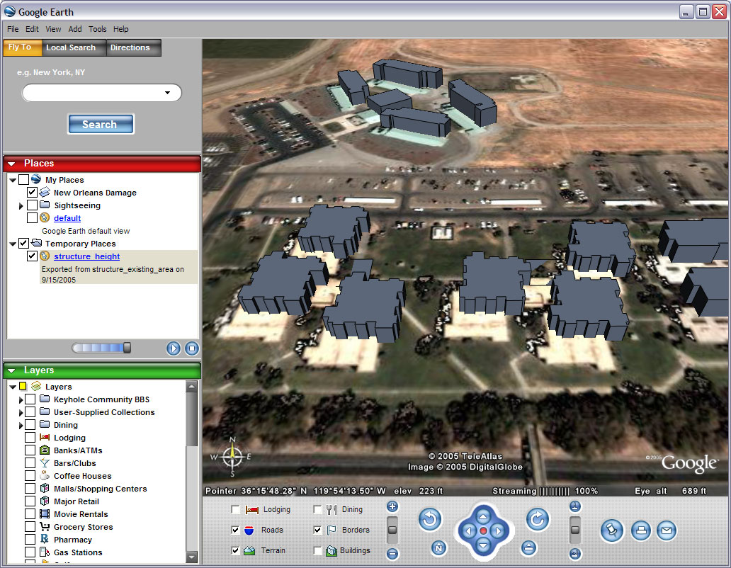
Link – Google Earth St Paul’s and Digital Elevation Model
I’ve been focused on using Google Earth for a GIS viewer, but some others have been looking at using it for 3D models.
…problems have arisen with the Google Digital Elevation model (DEM). St Paul’s is located on a natural hill in London but the resolution of the DEM is not enough to compensate for the building size and structure.
By default Google Earth drapes the models to the landscape, resulting in a model which slopes, losing the straight lines and introducing distortion. To get around this it can be placed absolute to the ground, resulting in a 11 metre difference between the front and the rear of the building – as it sits on a hill. This has been compensated for in the model but it throws out the actual building height relative to the skyline.
Interesting. I’ve noticed some problems with a x/y shift going on when I try and create 3D views of buildings in Google Earth, but it looks like those who work with 3D Studio Max and ArcScene are also left wondering how/if Google might fix their issues with Google Earth.