New Virtual Earth Features
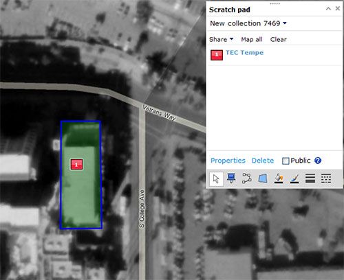
I can’t bring myself to say Live Local so I’m sticking with Virtual Earth. Anyway I was talking to Brian Flood today about using Arc2Earth to export KML and share those KMLs using Google Maps. My only disappointment was in Google Maps support of KML at this point (though I’m sure it will get there eventually). The problem for us using KML has been our clients not being able to install Google Earth because of the license issues. $400 a pop just won’t cut it. Anyway taking a look at the new Virtual Earth features such as the ability to draw polygons on maps and collaborate with other users via the web seems like a killer feature to me for those who want to share their GIS layers with others. Google Earth is a great tool, but ever computer has a web browser on it. Beyond exporting to PDF, that is the only sure way I can share mapping with clients and have them able to read the maps.
So this begs the question, when can I see Arc2VirtualEarth? There seems to be no import/export tool for these polygons, polylines and points but I can’t imagine that would be very hard to enable such a tool.
Also the Virtual Earth Interactive SDK has been updated with the new VE features.
 vepoly.jpg