Taking MapDotNet UX Studio for a spin
So reading the MapDotNet Blog and how UX Studio can load shapefiles (and SDE) into SQL Server 2008 I thought I give it a spin. You have to download the whole UX platform to get UX Studio so make sure that you do a custom install so that you only get UX Studio (rather than the whole SDK and Web Services). To load data into SQL Server 2008 is very simple, all you need to do is start up UX Studio and add a shapefile to the project. Then right click on the shapefile in the data sources panel and select “Export Data”. You’ll get a dialog that looks like this:
 Click for full view
When you click start the file is converted from shapefile to SQL Server 2008 table. A quick look at the table in Microsoft SQL Server Management Studio shows the whole file uploaded perfectly. What a quick and easy way to convert your shapefiles (and SDE layers) to SQL Server 2008.
Success!
 Success!
So there you go, loading data into SQL Server 2008 requires only the free UX Studio. Nice!
Have ArcMap use Twitter when scripts are finished
I remember years ago having ArcInfo Workstation send emails when it was finished processing and I’ve always thought the next logical step was having it send a text message to my cell phone. Rafa Gutierrez looked at Twitter for alerts and posted instructions as to how to get your ArcMap Model to send you a tweet when it is finished running. I’d probably set up a separate private Twitter account so that people can’t see what I’m doing or that I’d spam followers with my overlay analysis.
Letting ArcMap send you tweets
 Letting ArcMap send you tweets
Santa’s on his way
Connor is counting the presents under the tree and I’m getting ready to watch the Hawaii Bowl. It looks like we are going to have a wet Christmas (our version of a white Christmas) so maybe we’ll all hop in the car and drive up to the mountains to enjoy the snow.
I hope everyone who has read my blog this year has a truly Merry Christmas.
 Merry Christmas
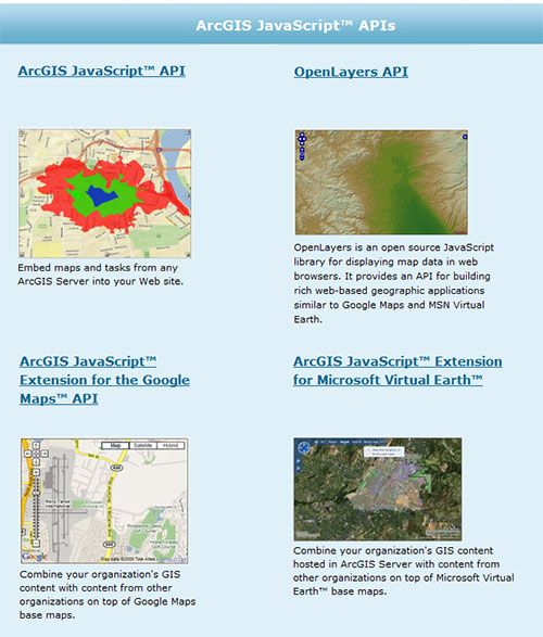
OpenLayers and the ESRI RESTful API
There is more going on with OpenLayers and the ESRI REST API than you probably know (I keep finding more and more that I didn’t know about every day). As more people start using OpenLayers with the ESRI ArcGIS Server we’ll hopefully get it integrated into the OpenLayer code. For now you can grab some of the code from the OpenLayer Wiki and start using OpenLayers with your ArcGIS Server applications. People are doing amazing things with OpenLayers including this example with ArcGIS Server?(which doesn’t use the REST API, but it is still wonderful) from the Long Island Index.
Wouldn’t the ESRI JavaScript API page look better with OpenLayers?
 Wouldnt the ESRI JavaScript API page look better with OpenLayers?
Update (12-24-2008): OpenLayers now has some case studies online as well.