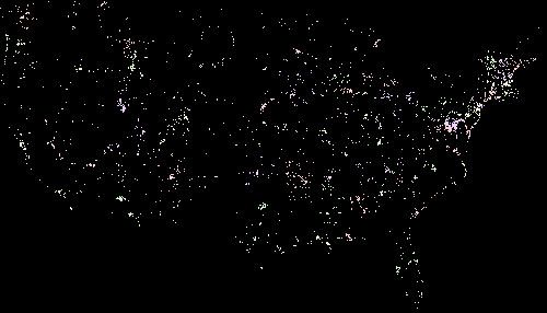
The United States Mapped by Flickr
It looks like people are able to do wonderful things with the Flickr API and a four color United States map.
 statesmap.jpg
Click over to the blog post link above for a better view of this map
I’d love to see this mashed up with the “Earth at Night” image and see what happens.