Using SVG to create interactive maps on the Apple iPhone
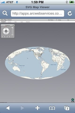
So you can’t have Silverlight, Java or Flash to develop interactive mapping on the iPhone and have to “resort” to using JavaScript. Well maybe not, could SVG be the way forward to creating mapping websites on the iPhone?? My 2G iPhone seems to support SVG fairly well, but many SVG sites aren’t optimized for the iPhone. Take ESRI’s abandoned (?) SVG Viewer:
ESRI’s ArcWeb SVG Viewer
 ESRIs ArcWeb SVG Viewer
It loads and you can turn on and off the “widgets” with ease. But navigating it was impossible. I know zero about developing with SVG so I suppose someone else will have to comment on if it is possible to create iPhone compatible navigation for SVG apps. Heck if ESRI were to make a ArcGIS Server SVG API compatible for the iPhone, every ArcGIS Server implementation would be viewable on the iPhone.