Stopping Over-engineered GIS Applications
![]()
I was thinking the past week about a project that we will start working on soon. Simply put, it is updating a MapObjects IMS application we deployed almost 10 years ago, that is still working. When I saw that it was not only still running, but it was still a critical part of their business workflow, it started me thinking about why such an application was so successful. It obviously wasn’t the technology. Sure the back end runs on Oracle, but even the most ardent MOIMS supporter can’t claim that the Visual Basic application was cutting edge even back then. So that must mean there was something else going on that kept it running when most MOIMS sites are long gone.
Won’t someone please think of the users?
 Wont someone please think of the users?
History of GIS applications tells us one story that repeats itself again and again. There is a horrible habit of pushing over-engineered applications that are not used by the target audience because no one has time to figure out complicated tools. GIS vendors have not discouraged such habits and in some cases encourage them. The GIS world is really good at writing GIS applications for GIS professionals. I think this used to work before GIS and mapping became important in our everyday lives, but now that everyone everywhere is looking at deploying spatial applications focus needs to be put on what the end users are going to be doing with the application.
So back to that old MapObjects application, it did a really good job of doing what it was supposed to do. Display information in a context that the users were comfortable working (the interface was familiar to them) with and meet their requirements (which were obviously well developed), fit within their websites, scaled well (even Visual Basic does that apparently) and wasn’t an obstacle to their workflows. With MOIMS depreciated and the need to connect to more modern ESRI servers and Oracle databases the application needs to be updated, but not because it restricts their business practices and workflows.
Foisting this application on users of a bus system was poorly thought out, but the Google Transit version released a few weeks ago hits the target users right on. The heavy GIS website might meet needs of users in the organizations internally, but externally it really highlights missed opportunities and wasted resources. I’m personally really excited to see if we can replicate the success of the earlier MOIMS application with JavaScript APIs, KML downloads and other new technology and still keep is simple. The key is listen to what the client really wants and be agile enough to deliver simple, focused, and fast products.
On the Mississippi
I’ve been quiet this week because I’ve been at the fiscal year end management meetings. The RSP Minneapolis office is located in the old Grain Belt Brewhouse which is just incredible office space.
The weather has been just so hit and miss. Flying in on Tuesday, we almost had to divert to Omaha, NE and the rain once we did get on the ground made it almost impossible to drive. But since then the weather has been very enjoyable (I suppose some might say warm, but being from Arizona I have a different definition).
Oracle enters the cloud (MySQL Enterprise too)
Oracle and Amazon today announced that Oracle would be offering some of their products inside Amazon’s EC2 cloud.
The Oracle Database 11g, Oracle Fusion Middleware, and Oracle Enterprise Manager can now be licensed to run in the cloud on Amazon EC2. Customers can even use their existing software licenses with no additional license fees.
While I see nothing specifically about Oracle Spatial, I assume is can be licensed as well on the cloud. The benefit to everyone is outside of licensing costs, the ability to launch the Oracle AMIs on EC2 and be up and running in no time. That plus the scaleability of EC2 (and thus Oracle) means that you don’t have to worry about hardware limitations with your applications. RSP Architects uses SQL Server as our database of choice, and while I would have been able to run Oracle in a virtual server, I no longer have to worry about hardware constraints to our development. Just license (which of course I realize is a problem for some people) and start loading the database. I’m anxious to see how ArcGIS connects to Oracle Spatial on EC2 and what kind of performance I can expect.
Cloudzilla could be unbeatable with Oracle in his hands
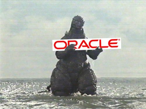 Cloudzilla carries Oracle onshore
Now for those who want to avoid Oracle, MySQL Enterprise as well in the Amazon Cloud.
Navteq out, TeleAtlas in
So Google has finally gotten around to making sure both the Google Maps API and the Google Local Search API are using the same underlying data.
Google Maps has now switched their map data provision completely over to TeleAtlas from Navteq. Now the google Maps, the Google API and the Google Maps for Mobile all use the same underlying data. This switch was only a matter of time given Nokia aquisition of Navteq
I’m curious to see if the change will affect any mapping applications out there that were using the Navteq data given that TeleAtlas and Nokia Navteq are probably different. Time for Peter Batty to revisit his Google Maps vs Google Local Search blog posts.