I started blogging in May of 2005. Right before Katrina hit and everything we knew about GIS disaster response changed. Katrina was that moment where the static image PDF of a map changed to a map service that ran on almost any modern (at the time) web browser. Immediately every GIS map server that was out there became irrelevant at best, dead to the world at worst. Remember though, Google bought Google Earth almost a year before Katrina and Google Maps didn’t launch until early 2005. The tools that created this disaster response revolution were in place, but not too many people used them or had heard of them. But less than 6 months after Google Maps hit the web, Katrina response was almost entirely driven by their tools.

If you look at my blog entries from September and October, you can see attempts by Esri, Microsoft, Yahoo! and others to try and address this new paradigm of mapping but none of them stuck. Everyone, and I mean everyone, was using Google. Esri ArcScripts back then probably had 50 tools to convert SHP to KML or MXD to KML. We had tools like Arc2Earth that specialized in making maps easier with Google. And while Esri tools were still being used to generate the data, the display was happening on other platforms.
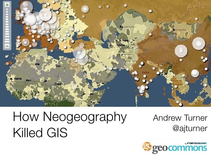
This of course gave rise to the Neogeography revolution. I’ll spare you the bare breasted Andrew Turner graphic but at this time we had so many people doing things with GIS that had no idea what GIS was let alone what Esri was. The limitations on getting started with mapping went down and all you needed was a computer and a text editor to make a map. My blog is littered with examples of Neogeography, from EVS Islands to all that great Flickr mapping that Dan Catt and crew did back then. People didn’t ask for permission, they just did it. It all culminated in what I consider the greatest crowdsourced disaster mapping effort, the wildfires in San Diego back in 2007 (feel free to choose the Haiti response over this, that’s fine. I really like the example of using Google My Maps in your backyard for this).

But something happened after this, it isn’t that people stopped mapping. Look at OSM growth. The amount of crowd sourced data continues to grow exponentially. But responses to disasters seemed to be run by Google and Microsoft themselves. Tools like Google My Maps continue to exist, but I truly can’t recall using one in the past 10 years. Or if the disaster was not interesting enough for Google, you’d see people using government websites to get that information. The Esri mapping had finally caught up that people would use the fire maps from the DOI other 3 letter agencies without complaining. The citizen effort moved to Twitter where it continues to show great promise, just not as a Google My Map. Take a look at the Bush Fire here in Arizona on Twitter. So many great posts by people but maps are either static images shared or links to traditional InciWeb maps.
This brings us full circle to COVID-19 mapping. Think of the best and most up to date COVID websites. They are built on Esri technology. Google has websites, Microsoft has them too. But the Esri dashboard has finally had its moment in the sun. I wonder if this is because the market has matured, that the tools have matured or the data set lends itself to a more scientific approach to display rather than simple lines and points. The Johns Hopkins COVID-19 Maps & Trends website is the bible for this epidemic.

GIS is no longer a side show on this response. I’m guessing that because this is more structured government data, Esri is uniquely positioned to be in the middle of it but even then, their tools have come a long way from the ArcIMS/ArcWeb madness that we dealt with during Katrina. COVID-19 dashboard is the opposite of Neogeography and that is OK. The influence of the citizens on mapping is clearly shown in the Esri tools we deal with today. They still drive me nuts from time to time but let’s be honest, they really do work for this situation. As we close out 1/2 of the way through 2020, hopefully we can keep the need for disaster response to a minimum.